
1916 Map of Pearce
USGS Topo · Published 1916About this map
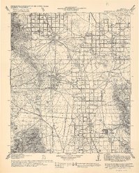
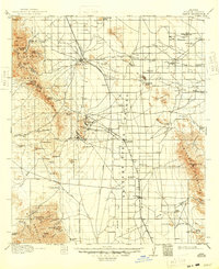
Pearce and the mining camps of the Dragoon Mountains represent a pivotal era of extraction and ranching in southern Arizona. During the early 20th century, the landscape was a hive of industrial activity centered around copper and silver, reflected here by the concentration of settlements like Courtland and Gleeson. These towns were linked by the Arizona Eastern and Arizona Southwestern railroads, which facilitated the movement of ore and supplies through the Sulphur Spring Valley.
Find a feature on this map
85 named features on this map. Tap any name to fly to it.
Don’t see what you’re looking for? This feature index may not catch every label — zoom into the map to look around manually.
Map Details
Editions of this 1916 Pearce Map
3 editions found
Other maps of this area

1902 · Bisbee
USGS Topo · 1:62,500

1910 · Bisbee
USGS Topo · 1:62,500

1914 · Hereford
USGS Topo · 1:125,000

1914 · Douglas
USGS Topo · 1:62,500

1915 · Benson
USGS Topo · 1:125,000

1916 · Douglas
USGS Topo · 1:125,000

1917 · San Simon
USGS Topo · 1:125,000

1917 · Chiricahua
USGS Topo · 1:125,000

1919 · Douglas
USGS Topo · 1:125,000

1919 · Perilla
USGS Topo · 1:125,000