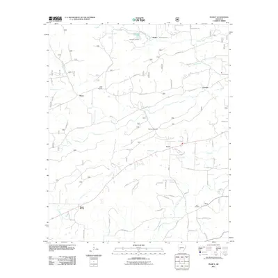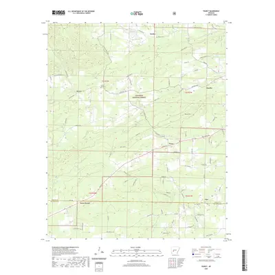
2024 Map of Pearcy
USGS Topo · Published 2024About this map
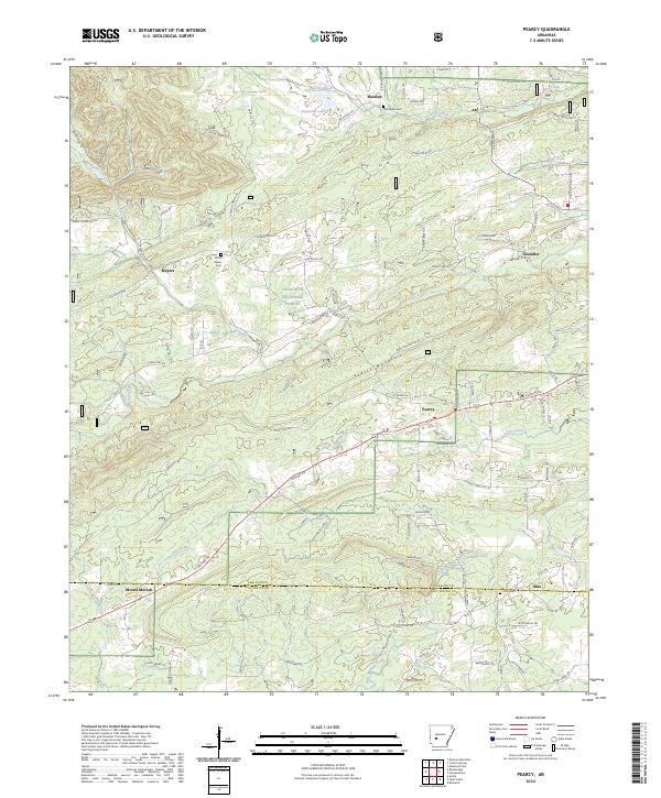
The community of Pearcy sits at the base of Pearcy Mountain, serving as a central point in this varied landscape where the foothills meet the forest. To the north, the Ouachita National Forest covers much of the terrain, while the southern reaches transition into the rural residential areas of Mount Moriah and Oma. The map highlights a network of waterways including Meyers Creek, Little Mazarn Creek, and Lost Creek, which drain the ridges and valleys of Garland and Hot Spring Counties. Genealogists will find several burial grounds of local significance, including McDowell Cem, Cross Roads Cem, and Oma Cem. This detailed survey illustrates the modern road network, from major routes like Airport Rd and Amity Rd to more remote paths like Old Dallas Rd and Nubbin Ridge Rd, reflecting the area's continued growth and its connection to the surrounding Ouachita highlands.
Find a feature on this map
96 named features on this map. Tap any name to fly to it.
Don’t see what you’re looking for? This feature index may not catch every label — zoom into the map to look around manually.
Map Details
Editions of this 2024 Pearcy Map
This is the sole edition of this map. No revisions or reprints were ever made.
Historical Maps of Pearcy Through Time
6 maps found