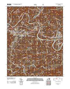
2011 Map of Pearisburg
USGS Topo · Published 2011About this map
New River meanders sharply through this Giles County landscape, defining the development of rail and industry as the Norfolk Southern line follows its banks. The terrain is marked by significant elevations like Guinea Mountain and Buckeye Mountain, which separate the river valley from the southern agricultural and residential clusters. The settlement of Pearisburg serves as a central hub, containing the Pearisburg Post Office and several historic burial grounds including Birchlawn Burial Park and the Mason French Cemetery. To the south, Walker Creek flows toward the river, passing the small community of Bane and Pleasant Hill Cemetery. The map captures a moment when traditional Appalachian valley life, centered on small settlements like Pembroke, Kimballton, and Ripplemead, exists alongside the modern infrastructure of the rail corridor and established county roads.
Find a feature on this map
133 named features on this map. Tap any name to fly to it.
Don’t see what you’re looking for? This feature index may not catch every label — zoom into the map to look around manually.
Map Details
Editions of this 2011 Pearisburg Map
This is the sole edition of this map. No revisions or reprints were ever made.
Other maps of this area

1890 · Dublin
USGS Topo · 1:125,000

1891 · Dublin
USGS Topo · 1:125,000

1913 · Peterstown
USGS Topo · 1:48,000

1916 · Peterstown
USGS Topo · 1:62,500

1923 · Pearisburg
USGS Topo · 1:62,500

1925 · Peterstown
USGS Topo · 1:62,500

1932 · Peterstown
USGS Topo · 1:48,000

1932 · Pearisburg
USGS Topo · 1:48,000

1934 · Pulaski
USGS Topo · 1:48,000

1937 · Pearisburg
USGS Topo · 1:62,500