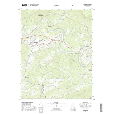
2019 Map of Pearisburg
USGS Topo · Published 2019About this map
Pearisburg and its historic Giles County Courthouse anchor this Appalachian landscape, where the wide meanders of the New River cut deep valleys through the northern reaches of the Jefferson National Forest. This modern record of the terrain preserves a dense network of local burial sites and landmarks essential for genealogical research, including the Birchlawn Burial Park and Mason French Cem near the town center, and the Eatons Chapel Cem further south.
Find a feature on this map
44 named features on this map. Tap any name to fly to it.
Don’t see what you’re looking for? This feature index may not catch every label — zoom into the map to look around manually.
Map Details
Editions of this 2019 Pearisburg Map
This is the sole edition of this map. No revisions or reprints were ever made.
Other maps of this area

1890 · Dublin
USGS Topo · 1:125,000

1891 · Dublin
USGS Topo · 1:125,000

1913 · Peterstown
USGS Topo · 1:48,000

1916 · Peterstown
USGS Topo · 1:62,500

1923 · Pearisburg
USGS Topo · 1:62,500

1925 · Peterstown
USGS Topo · 1:62,500

1932 · Peterstown
USGS Topo · 1:48,000

1932 · Pearisburg
USGS Topo · 1:48,000

1934 · Pulaski
USGS Topo · 1:48,000

1937 · Pearisburg
USGS Topo · 1:62,500