2022 Map of Pearisburg
USGS Topo · Published 2022About this map
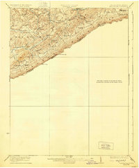
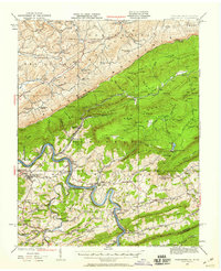
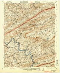
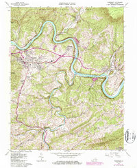
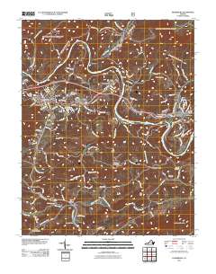
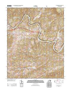
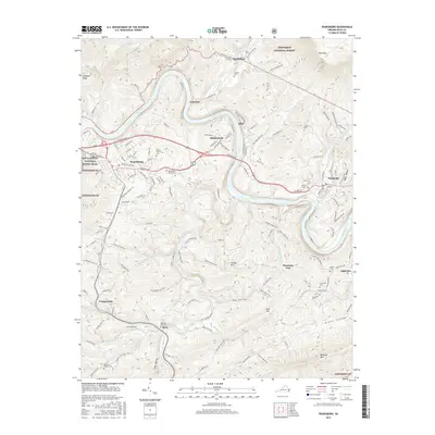
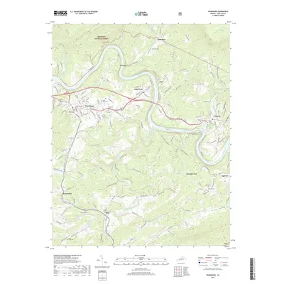
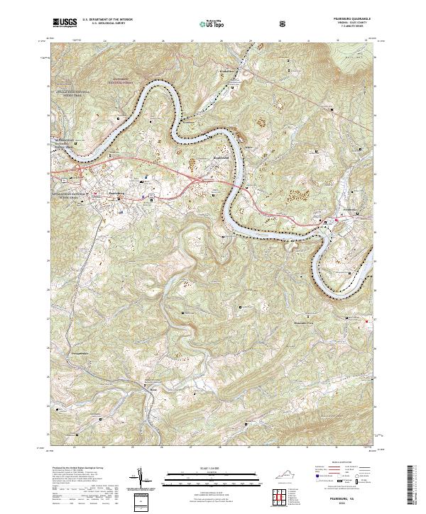
The New River carves a deep path through Giles County, anchoring a landscape where river bends and mountain ridges define the human settlement pattern. In the town of Pearisburg, the Giles County Courthouse stands as a central landmark, surrounded by residential streets and the sprawling Birchlawn Burial Park. The area’s geography is further shaped by the heights of Butt Mtn and Buckeye Mtn, with the Appalachian National Scenic Trail winding across the northern ridges near Hemlock Ridge.
Find a feature on this map
73 named features on this map. Tap any name to fly to it.
Don’t see what you’re looking for? This feature index may not catch every label — zoom into the map to look around manually.
Map Details
Editions of this 2022 Pearisburg Map
This is the sole edition of this map. No revisions or reprints were ever made.
Historical Maps of Pearisburg Through Time
9 maps found