
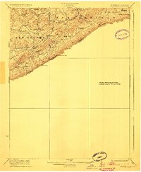
1923 Map of Pearisburg
USGS Topo · Published 1923About this map
Peters Mountain forms a massive natural barrier along the West Virginia Virginia state line in the early 1920s, anchoring the topography of this survey. The Red Sulphur District is defined by a dense network of rural infrastructure, where small settlements like Lindside and Assurance are connected by numerous local institutions. The distribution of Swope School, Rock Camp School, and Pine Grove School alongside congregations at Flatwoods Church and Brick Church illustrates the decentralized social fabric of the Appalachian ridge-and-valley landscape during this era.
Find a feature on this map
38 named features on this map. Tap any name to fly to it.
Don’t see what you’re looking for? This feature index may not catch every label — zoom into the map to look around manually.
Map Details
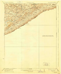
Editions of this 1923 Pearisburg Map
3 editions found
Other maps of this area

1887 · Hinton
USGS Topo · 1:125,000

1887 · Lewisburg
USGS Topo · 1:125,000

1890 · Dublin
USGS Topo · 1:125,000

1890 · Christiansburg
USGS Topo · 1:125,000

1891 · Lewisburg
USGS Topo · 1:125,000

1891 · Dublin
USGS Topo · 1:125,000

1892 · Hinton
USGS Topo · 1:125,000

1912 · Big Bend
USGS Topo · 1:62,500

1913 · Peterstown
USGS Topo · 1:48,000

1914 · Big Bend
USGS Topo · 1:62,500