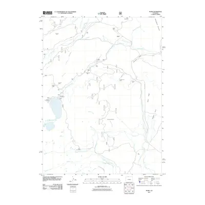
2011 Map of Pearl
USGS Topo · Published 2011About this map
Pearl sits at the heart of this high-country landscape, where ranching and mining history converge in Jackson County. The settlement pattern is defined by family-named holdings such as Simmons Ranch, Rhea Ranch, and Lobdell Ranch, interspersed with extensive water management systems like Carney Ditch and the Hill Ditch Number 1. This complex network of ditches suggests a landscape heavily modified to support livestock and agriculture in an arid environment.
Find a feature on this map
52 named features on this map. Tap any name to fly to it.
Don’t see what you’re looking for? This feature index may not catch every label — zoom into the map to look around manually.
Map Details
Editions of this 2011 Pearl Map
This is the sole edition of this map. No revisions or reprints were ever made.
Other maps of this area

1906 · Medicine Bow
USGS Topo · 1:125,000

1908 · Medicine Bow
USGS Topo · 1:125,000

1911 · Hahns Peak
USGS Topo · 1:125,000

1913 · Hahns Peak
USGS Topo · 1:125,000

1939 · Saratoga
USGS Topo · 1:125,000

1954 · Rawlins
USGS Topo · 1:250,000

1954 · Craig
USGS Topo · 1:250,000

1955 · Davis Peak
USGS Topo · 1:24,000

1955 · Independence Mountain
USGS Topo · 1:24,000

1955 · Lake John
USGS Topo · 1:24,000