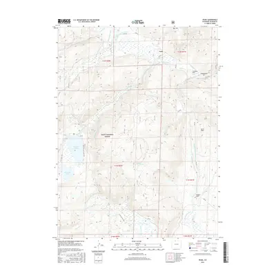
2016 Map of Pearl
USGS Topo · Published 2016About this map
Pearl sits at the northern edge of this high-elevation terrain, where the mountain slopes descend toward a complex network of man-made irrigation. The landscape is defined by an extensive system of gravity-fed water management, featuring historically significant labels like the Hans Clauson Number 1 Ditch, Albert Clauson Ditch, and Bighorn Cattle Company Ditch. These waterways reflect the region's ranching heritage, redirecting flows from sources like Big Creek Lakes and the N Fork N Platte River to support livestock and agriculture in the basins below.
Find a feature on this map
48 named features on this map. Tap any name to fly to it.
Don’t see what you’re looking for? This feature index may not catch every label — zoom into the map to look around manually.
Map Details
Editions of this 2016 Pearl Map
This is the sole edition of this map. No revisions or reprints were ever made.
Other maps of this area

1906 · Medicine Bow
USGS Topo · 1:125,000

1908 · Medicine Bow
USGS Topo · 1:125,000

1911 · Hahns Peak
USGS Topo · 1:125,000

1913 · Hahns Peak
USGS Topo · 1:125,000

1939 · Saratoga
USGS Topo · 1:125,000

1954 · Rawlins
USGS Topo · 1:250,000

1954 · Craig
USGS Topo · 1:250,000

1955 · Davis Peak
USGS Topo · 1:24,000

1955 · Independence Mountain
USGS Topo · 1:24,000

1955 · Lake John
USGS Topo · 1:24,000