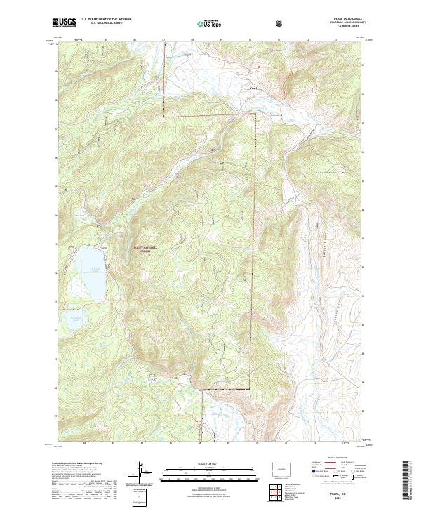
2022 Map of Pearl
USGS Topo · Published 2022About this map
Pearl sits at the northern edge of this high-altitude landscape in Jackson County, where the ranching and water-management legacy of Northern Colorado is written across the terrain. The map reveals an intricate network of irrigation systems necessary for mountain agriculture, including the Hans Clauson Number 1 Ditch, Albert Clauson Ditch, and the Bighorn Cattle Company Ditch. These man-made channels divert water from natural flows like Beaver Cr and Wheeler Cr to support the surrounding valley floors.
Find a feature on this map
49 named features on this map. Tap any name to fly to it.
Don’t see what you’re looking for? This feature index may not catch every label — zoom into the map to look around manually.
Map Details
Editions of this 2022 Pearl Map
This is the sole edition of this map. No revisions or reprints were ever made.
Other maps of this area

1906 · Medicine Bow
USGS Topo · 1:125,000

1908 · Medicine Bow
USGS Topo · 1:125,000

1911 · Hahns Peak
USGS Topo · 1:125,000

1913 · Hahns Peak
USGS Topo · 1:125,000

1939 · Saratoga
USGS Topo · 1:125,000

1954 · Rawlins
USGS Topo · 1:250,000

1954 · Craig
USGS Topo · 1:250,000

1955 · Davis Peak
USGS Topo · 1:24,000

1955 · Independence Mountain
USGS Topo · 1:24,000

1955 · Lake John
USGS Topo · 1:24,000