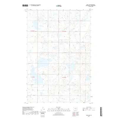
2018 Map of Pearl Lake
USGS Topo · Published 2018About this map
Pearl Lake and Mud Lake dominate this high-plains landscape in Stutsman County, where the terrain is defined by a dense network of prairie potholes and wetlands. The geography reveals a highly organized township-and-range system, with a precise grid of local roads like 21st St SE and 54th Ave SE partitioning the land into agricultural sections. This infrastructure suggests a rural environment where land management and water drainage are central to the local economy. The presence of numerous unnamed wetlands surrounding the primary basins indicates a dynamic hydrology typical of the North Dakota prairie, providing a detailed record of the water levels and drainage patterns that local residents and land owners contend with in this part of the state.
Find a feature on this map
20 named features on this map. Tap any name to fly to it.
Don’t see what you’re looking for? This feature index may not catch every label — zoom into the map to look around manually.
Map Details
Editions of this 2018 Pearl Lake Map
This is the sole edition of this map. No revisions or reprints were ever made.
Other maps of this area

1952 · New Rockford
USGS Topo · 1:250,000

1953 · Jamestown
USGS Topo · 1:250,000

1954 · Cleveland NW
USGS Topo · 1:24,000

1954 · Medina
USGS Topo · 1:24,000

1955 · Crystal Springs
USGS Topo · 1:24,000

1956 · New Rockford
USGS Topo · 1:250,000

1956 · Jamestown
USGS Topo · 1:250,000
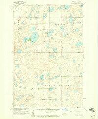
1958 · Goldwin SW
USGS Topo · 1:24,000

1958 · Goldwin
USGS Topo · 1:24,000

1971 · New Rockford
USGS Topo · 1:250,000