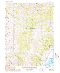
1985 Map of Pearl Peak
USGS Topo · Published 1986About this map
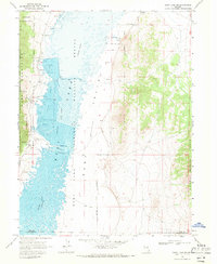
Ruby Mountains topography dominates this mid-1980s provisional survey of the high-elevation boundary between Elko and White Pine counties. Rising steeply from the valley floor, the landscape is defined by massive peaks including Pearl Peak and Cass House Peak, which shed water into a network of drainage systems like Lindsay Creek and Sherman Creek. The eastern edge of the quadrangle marks a sharp environmental transition into the Ruby Lake National Wildlife Refuge, where the marshy waters of Ruby Lake provide a stark contrast to the surrounding high country.
Find a feature on this map
34 named features on this map. Tap any name to fly to it.
Don’t see what you’re looking for? This feature index may not catch every label — zoom into the map to look around manually.
Map Details
Editions of this 1985 Pearl Peak Map
This is the sole edition of this map. No revisions or reprints were ever made.
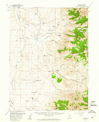
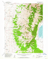
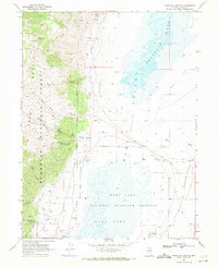
Other maps of this area

1934 · Jiggs
USGS Topo · 1:125,000

1937 · Jiggs
USGS Topo · 1:125,000

1955 · Elko
USGS Topo · 1:250,000

1958 · Elko
USGS Topo · 1:250,000
1959 · Jiggs
USGS Topo · 1:62,500
1959 · Sherman Mtn
USGS Topo · 1:62,500

1962 · Elko
USGS Topo · 1:250,000

1965 · Elko
USGS Topo · 1:250,000
1968 · Franklin Lake SW
USGS Topo · 1:24,000
1968 · Ruby Lake NW
USGS Topo · 1:24,000