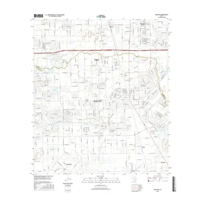
2016 Map of Pearland
USGS Topo · Published 2016About this map
Pearland and its neighboring communities in Brookside Village and Mykawa characterize this 2016 coastal prairie landscape south of Houston. The map documents the dense residential expansion in the northern sections, notably within the curiously named Skyscraper Shadows development. This suburban growth is contrasted by the persistent presence of agricultural and drainage infrastructure, such as the Hickory Slough and Mustang Bayou watersheds that define the low-lying terrain. The region's transport and aviation history is preserved through the Bnsf Railway corridor and local landing strips like Skyway Manor Airport and Houston Airpark. For genealogists and local historians, the sheet identifies significant burial sites including the Old Pearland Cem, Pearland Cem, and Dagg Cem, providing a clear record of the community's established footprint as it stretches south toward Manvel and Alvin.
Find a feature on this map
231 named features on this map. Tap any name to fly to it.
Don’t see what you’re looking for? This feature index may not catch every label — zoom into the map to look around manually.
Map Details
Editions of this 2016 Pearland Map
This is the sole edition of this map. No revisions or reprints were ever made.
Other maps of this area

1915 · Bellaire
USGS Topo · 1:24,000

1915 · Park Place
USGS Topo · 1:24,000

1915 · Deepwater
USGS Topo · 1:24,000

1916 · Genoa
USGS Topo · 1:24,000

1919 · Deepwater
USGS Topo · 1:31,680

1920 · Genoa
USGS Topo · 1:31,680

1920 · Mykawa
USGS Topo · 1:31,680

1920 · Almeda
USGS Topo · 1:31,680

1921 · Bellaire
USGS Topo · 1:31,680

1922 · Park Place
USGS Topo · 1:31,680