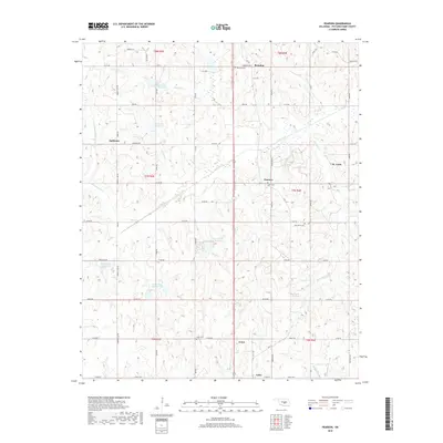
2018 Map of Pearson
USGS Topo · Published 2018About this map
Asher and the surrounding Pottawatomie County countryside are defined by a network of drainage basins and rural road grids in this 2018 study. The terrain is notably dissected by Salt Creek and several flood-control structures, including Salt Cr Site 24 Reservoir and Salt Cr Site 21 Reservoir. These reservoirs indicate modern water management efforts within the traditional township and range survey system. Small settlements like Pearson and St. Louis serve as local hubs, while historical burial grounds such as Romulus Cem and Light Cem provide important links to the area's early residents.
Find a feature on this map
67 named features on this map. Tap any name to fly to it.
Don’t see what you’re looking for? This feature index may not catch every label — zoom into the map to look around manually.
Map Details
Editions of this 2018 Pearson Map
This is the sole edition of this map. No revisions or reprints were ever made.
Other maps of this area

1896 · Seminole and Prague
USGS Topo · 1:125,000

1898 · Purcell
USGS Topo · 1:125,000

1898 · Pauls Valley
USGS Topo · 1:125,000

1901 · Stonewall
USGS Topo · 1:125,000

1902 · Pauls Valley
USGS Topo · 1:125,000

1907 · Maud
USGS Topo · 1:62,500

1908 · Maud
USGS Topo · 1:62,500

1910 · McComb
USGS Topo · 1:62,500

1954 · Oklahoma City
USGS Topo · 1:250,000

1957 · Ardmore
USGS Topo · 1:250,000