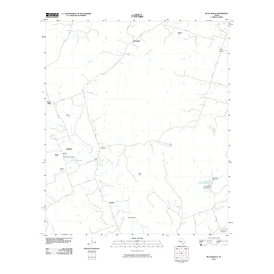
2010 Map of Pecan Wells
USGS Topo · Published 2010About this map
The Lampasas River and South Lampasas River dominate this Central Texas landscape, defining the rural character of Hamilton County. Small agricultural settlements like Springdale, Pecan Wells, and McGirk are linked by a network of farm roads, including FM 1047 and FM 2005. For genealogists, the map is particularly rich in local history markers, locating the McGirk School and several distinct burial grounds including Cottage Hill Cemetery, Ward Cemetery, and Eastview Cemetery.
Find a feature on this map
44 named features on this map. Tap any name to fly to it.
Don’t see what you’re looking for? This feature index may not catch every label — zoom into the map to look around manually.
Map Details
Editions of this 2010 Pecan Wells Map
This is the sole edition of this map. No revisions or reprints were ever made.
Other maps of this area

1887 · Lampasas
USGS Topo · 1:125,000

1888 · Hamilton
USGS Topo · 1:125,000

1894 · Hamilton
USGS Topo · 1:125,000

1894 · Lampasas
USGS Topo · 1:125,000

1954 · Brownwood
USGS Topo · 1:250,000

1954 · Evant
USGS Topo · 1:62,500

1954 · Evant
USGS Topo · 1:24,000

1956 · Pottsville
USGS Topo · 1:62,500

1956 · Hamilton
USGS Topo · 1:62,500

1956 · Hamilton West
USGS Topo · 1:24,000