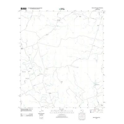
2012 Map of Pecan Wells
USGS Topo · Published 2012About this map
The Lampasas River and its tributary, the S Lampasas River, anchor this rural landscape in Hamilton County, shaping a territory defined by high points and creek drainages. Several small communities and landmarks provide a look at the area's social fabric, including McGirk, Springdale, and the namesake Pecan Wells. For those researching local heritage, the map identifies key community hubs like the McGirk School and several rural burying grounds including McGirk Cem and Cottage Hill Cem.
Find a feature on this map
45 named features on this map. Tap any name to fly to it.
Don’t see what you’re looking for? This feature index may not catch every label — zoom into the map to look around manually.
Map Details
Editions of this 2012 Pecan Wells Map
This is the sole edition of this map. No revisions or reprints were ever made.
Other maps of this area

1887 · Lampasas
USGS Topo · 1:125,000

1888 · Hamilton
USGS Topo · 1:125,000

1894 · Hamilton
USGS Topo · 1:125,000

1894 · Lampasas
USGS Topo · 1:125,000

1954 · Brownwood
USGS Topo · 1:250,000

1954 · Evant
USGS Topo · 1:62,500

1954 · Evant
USGS Topo · 1:24,000

1956 · Pottsville
USGS Topo · 1:62,500

1956 · Hamilton
USGS Topo · 1:62,500

1956 · Hamilton West
USGS Topo · 1:24,000