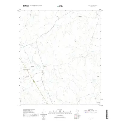
2019 Map of Pecan Wells
USGS Topo · Published 2019About this map
The Lampasas River and S Lampasas River dominate this landscape, winding through a series of prominent high points and ridges along the Hamilton and Mills county line. The terrain is defined by several notable elevations, including Deadman Mtn, Vista Mtn, and Round Mtn, while Chaney Point and Hawley Point offer distinct vantage points over the river valleys. For genealogists, the map preserves the location of four local burial grounds: McGirk Cem, Cottage Hill Cem, Eastview Cem, and Ward Cem. The area’s water resources are marked by reservoirs such as McCasland Lake and Caldwell Lake Number 3, which reflect the ranching and agricultural needs of the central Texas upland. A network of rural roads, including FM 2005 and FM 1047, connects these scattered points of interest across the varied topography.
Find a feature on this map
43 named features on this map. Tap any name to fly to it.
Don’t see what you’re looking for? This feature index may not catch every label — zoom into the map to look around manually.
Map Details
Editions of this 2019 Pecan Wells Map
This is the sole edition of this map. No revisions or reprints were ever made.
Other maps of this area

1887 · Lampasas
USGS Topo · 1:125,000

1888 · Hamilton
USGS Topo · 1:125,000

1894 · Hamilton
USGS Topo · 1:125,000

1894 · Lampasas
USGS Topo · 1:125,000

1954 · Brownwood
USGS Topo · 1:250,000

1954 · Evant
USGS Topo · 1:62,500

1954 · Evant
USGS Topo · 1:24,000

1956 · Pottsville
USGS Topo · 1:62,500

1956 · Hamilton
USGS Topo · 1:62,500

1956 · Hamilton West
USGS Topo · 1:24,000