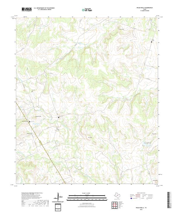
2022 Map of Pecan Wells
USGS Topo · Published 2022About this map
The Lampasas River and its tributary, the S Lampasas River, carve through this central Texas landscape on the border of Hamilton and Mills counties. The terrain is defined by prominent high points such as Deadman Mtn, Vista Mtn, and Round Mtn, which overlook a network of creeks including Gholson Cr and Partridge Cr. For those tracing local family lineages, several rural burial grounds are documented, including Cottage Hill Cem, Ward Cem, and McGirk Cem. The map illustrates a typical ranching and farming landscape where water management is evident through features like McCasland Lake and Caldwell Lake Number 3, supporting the local agricultural economy between the established county lines.
Find a feature on this map
41 named features on this map. Tap any name to fly to it.
Don’t see what you’re looking for? This feature index may not catch every label — zoom into the map to look around manually.
Map Details
Editions of this 2022 Pecan Wells Map
This is the sole edition of this map. No revisions or reprints were ever made.
Other maps of this area

1887 · Lampasas
USGS Topo · 1:125,000

1888 · Hamilton
USGS Topo · 1:125,000

1894 · Hamilton
USGS Topo · 1:125,000

1894 · Lampasas
USGS Topo · 1:125,000

1954 · Brownwood
USGS Topo · 1:250,000

1954 · Evant
USGS Topo · 1:62,500

1954 · Evant
USGS Topo · 1:24,000

1956 · Pottsville
USGS Topo · 1:62,500

1956 · Hamilton
USGS Topo · 1:62,500

1956 · Hamilton West
USGS Topo · 1:24,000