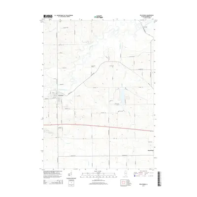
2015 Map of Pecatonica
USGS Topo · Published 2015About this map
The Pecatonica River meanders across this Winnebago County landscape, defining the character of the river valley between the villages of Pecatonica and Winnebago. Modern infrastructure, including the Carlson RLA Airport and a network of rural roads like Telegraph Rd and Trask Bridge Rd, overlays a terrain dotted with significant local landmarks. Genealogists will find the locations of Twelvemile Grove Cem, Thompson Cem, and Hulse Cem essential for tracing family ties to this agricultural corridor. The map details the drainage patterns of Coolidge Cr, Grove Cr, and Pink Cr as they feed into the main river channel. From the athletic grounds at O'Connor Field to the residential streets of the primary settlements, the survey documents the late-modern development of these Illinois townships.
Find a feature on this map
64 named features on this map. Tap any name to fly to it.
Don’t see what you’re looking for? This feature index may not catch every label — zoom into the map to look around manually.
Map Details
Editions of this 2015 Pecatonica Map
This is the sole edition of this map. No revisions or reprints were ever made.
Other maps of this area

1917 · Kings
USGS Topo · 1:62,500

1918 · Rockford
USGS Topo · 1:62,500

1918 · Kings
USGS Topo · 1:62,500

1922 · Oregon
USGS Topo · 1:62,500

1924 · Oregon
USGS Topo · 1:62,500

1932 · Pecatonica
USGS Topo · 1:62,500

1936 · Pecatonica
USGS Topo · 1:62,500

1938 · Rockford
USGS Topo · 1:62,500

1954 · Rockford
USGS Topo · 1:250,000

1955 · Rockford
USGS Topo · 1:250,000