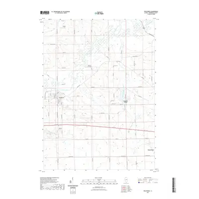
2021 Map of Pecatonica
USGS Topo · Published 2021About this map
The Pecatonica River snakes across this northern Illinois landscape, defining the topography of a region anchored by the established village of Pecatonica. This 2021 survey shows a rural-residential mix, where traditional farm properties along Brick School Rd and Green Rd meet newer developments like Westlake Village. The map serves as a vital resource for local history, recording the locations of pioneer-era burial grounds including Hulse Cem, Thompson Cem, and the evocative Twelve Mile Grove Cem.
Find a feature on this map
70 named features on this map. Tap any name to fly to it.
Don’t see what you’re looking for? This feature index may not catch every label — zoom into the map to look around manually.
Map Details
Editions of this 2021 Pecatonica Map
This is the sole edition of this map. No revisions or reprints were ever made.
Other maps of this area

1917 · Kings
USGS Topo · 1:62,500

1918 · Rockford
USGS Topo · 1:62,500

1918 · Kings
USGS Topo · 1:62,500

1922 · Oregon
USGS Topo · 1:62,500

1924 · Oregon
USGS Topo · 1:62,500

1932 · Pecatonica
USGS Topo · 1:62,500

1936 · Pecatonica
USGS Topo · 1:62,500

1938 · Rockford
USGS Topo · 1:62,500

1954 · Rockford
USGS Topo · 1:250,000

1955 · Rockford
USGS Topo · 1:250,000