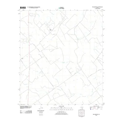
2010 Map of Peck Branch
USGS Topo · Published 2010About this map
Fordtran Cemetery sits as a quiet landmark in the western reaches of this DeWitt County landscape, marking the local heritage of a rural Texas community. The terrain is defined by a network of drainage systems, with Arenosa Creek and Brown Creek winding across the southern and eastern sectors. This 2010 survey reflects a landscape dominated by ranching and private landholdings, illustrated by the presence of the Dobbs Ranch Airport and the extensively labeled J-2 Ranch Rd.
Find a feature on this map
22 named features on this map. Tap any name to fly to it.
Don’t see what you’re looking for? This feature index may not catch every label — zoom into the map to look around manually.
Map Details
Editions of this 2010 Peck Branch Map
This is the sole edition of this map. No revisions or reprints were ever made.
Other maps of this area

1951 · Inez NW
USGS Topo · 1:24,000

1951 · Inez
USGS Topo · 1:24,000

1953 · Beeville
USGS Topo · 1:250,000

1953 · Seguin
USGS Topo · 1:250,000

1956 · Beeville
USGS Topo · 1:250,000

1958 · Seguin
USGS Topo · 1:250,000

1960 · Beeville
USGS Topo · 1:250,000

1962 · Terryville
USGS Topo · 1:24,000

1963 · Fordtran
USGS Topo · 1:24,000

1963 · Nursery
USGS Topo · 1:24,000