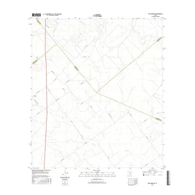
2016 Map of Peck Branch
USGS Topo · Published 2016About this map
Fordtran Cem and Fordtran Store Rd mark the legacy of the local settlement in this rural landscape where DeWitt, Lavaca, Victoria, and Jackson counties meet. The terrain is defined by a dense network of seasonal drainages, including Peck Branch, Little Brushy Cr, and the winding path of Arenosa Cr. These watercourses dictate the placement of ranch roads and crossings that have served the region's agricultural interests for generations.
Find a feature on this map
32 named features on this map. Tap any name to fly to it.
Don’t see what you’re looking for? This feature index may not catch every label — zoom into the map to look around manually.
Map Details
Editions of this 2016 Peck Branch Map
This is the sole edition of this map. No revisions or reprints were ever made.
Other maps of this area

1951 · Inez NW
USGS Topo · 1:24,000

1951 · Inez
USGS Topo · 1:24,000

1953 · Beeville
USGS Topo · 1:250,000

1953 · Seguin
USGS Topo · 1:250,000

1956 · Beeville
USGS Topo · 1:250,000

1958 · Seguin
USGS Topo · 1:250,000

1960 · Beeville
USGS Topo · 1:250,000

1962 · Terryville
USGS Topo · 1:24,000

1963 · Fordtran
USGS Topo · 1:24,000

1963 · Nursery
USGS Topo · 1:24,000