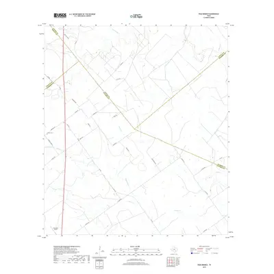
2019 Map of Peck Branch
USGS Topo · Published 2019About this map
Arenosa Cr and its tributaries wind through this ranchland region where the borders of DeWitt, Lavaca, Victoria, and Jackson counties converge. The landscape is defined by its rural road network, linking family lands and cattle operations via routes like J-2 Ranch Rd and Fordtran Rd. This survey documents a quiet interior of the Texas coastal plain, where the small Fordtran Cem and Fordtran Store Rd serve as markers of the local community structure. The presence of the Cole Ranch Airport near the DeWitt County line reflects the integration of private aviation into the modern management of these large ranching tracts. Drainage patterns such as Peck Br and Dry Hollow Br dictate the local topography, shaping a terrain that has remained dedicated to agriculture and livestock for generations.
Find a feature on this map
33 named features on this map. Tap any name to fly to it.
Don’t see what you’re looking for? This feature index may not catch every label — zoom into the map to look around manually.
Map Details
Editions of this 2019 Peck Branch Map
This is the sole edition of this map. No revisions or reprints were ever made.
Other maps of this area

1951 · Inez NW
USGS Topo · 1:24,000

1951 · Inez
USGS Topo · 1:24,000

1953 · Beeville
USGS Topo · 1:250,000

1953 · Seguin
USGS Topo · 1:250,000

1956 · Beeville
USGS Topo · 1:250,000

1958 · Seguin
USGS Topo · 1:250,000

1960 · Beeville
USGS Topo · 1:250,000

1962 · Terryville
USGS Topo · 1:24,000

1963 · Fordtran
USGS Topo · 1:24,000

1963 · Nursery
USGS Topo · 1:24,000