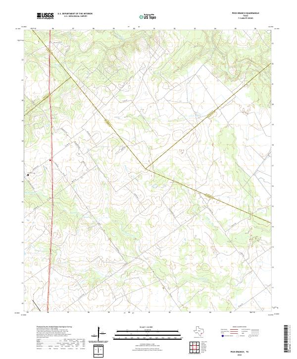
2022 Map of Peck Branch
USGS Topo · Published 2022About this map
The convergence of four Texas counties — Victoria, Lavaca, DeWitt, and Jackson — occurs within this rural landscape, which is defined by the complex drainage network of the Guadalupe River basin. Along the western edge, the Fordtran Cem stands as a quiet marker of local genealogy near the intersection of Fordtran Rd and Fordtran Store Rd. The terrain is etched by several seasonal and permanent watercourses, most notably Arenosa Cr in the south and Haines Flat Cr winding through the center.
Find a feature on this map
34 named features on this map. Tap any name to fly to it.
Don’t see what you’re looking for? This feature index may not catch every label — zoom into the map to look around manually.
Map Details
Editions of this 2022 Peck Branch Map
This is the sole edition of this map. No revisions or reprints were ever made.
Other maps of this area

1951 · Inez NW
USGS Topo · 1:24,000

1951 · Inez
USGS Topo · 1:24,000

1953 · Beeville
USGS Topo · 1:250,000

1953 · Seguin
USGS Topo · 1:250,000

1956 · Beeville
USGS Topo · 1:250,000

1958 · Seguin
USGS Topo · 1:250,000

1960 · Beeville
USGS Topo · 1:250,000

1962 · Terryville
USGS Topo · 1:24,000

1963 · Fordtran
USGS Topo · 1:24,000

1963 · Nursery
USGS Topo · 1:24,000