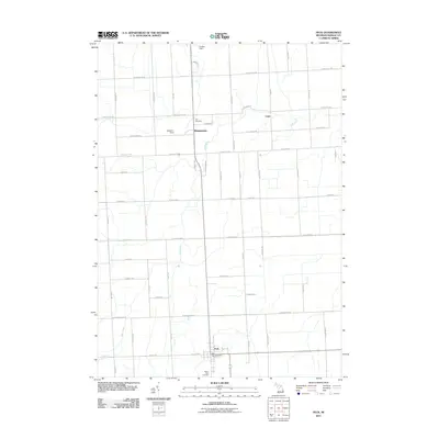
2011 Map of Peck
USGS Topo · Published 2011About this map
Peck serves as the primary hub of this Sanilac County landscape, situated at the junction of W Peck Rd and Farr Rd. The village contains the Peck Post Office, providing a central point for the surrounding agricultural community. North of the village, the small settlement of Watertown is located along the banks of Elk Creek, which meanders through the central terrain. This 2011 survey documents a rural infrastructure defined by an orderly grid of roads like Marlette Rd and Aitken Rd, which connect outlying points like the locality of Cash. Genealogists will find notable markers of local history at Zion Cemetery near Watertown and Mount Hope Cemetery just south of Peck. Small private airstrips, including Williams Field and Cowley Field, indicate the continued importance of local aviation in this part of the Michigan Thumb.
Find a feature on this map
60 named features on this map. Tap any name to fly to it.
Don’t see what you’re looking for? This feature index may not catch every label — zoom into the map to look around manually.
Map Details
Editions of this 2011 Peck Map
This is the sole edition of this map. No revisions or reprints were ever made.
Other maps of this area

1954 · Flint
USGS Topo · 1:250,000

1958 · Flint
USGS Topo · 1:250,000

1961 · Brown City
USGS Topo · 1:24,000

1961 · Roseburg
USGS Topo · 1:24,000

1961 · Yale
USGS Topo · 1:24,000

1963 · Snover
USGS Topo · 1:24,000

1963 · Sandusky
USGS Topo · 1:24,000

1963 · Peck
USGS Topo · 1:24,000

1963 · Juhl
USGS Topo · 1:24,000

1963 · Applegate
USGS Topo · 1:24,000