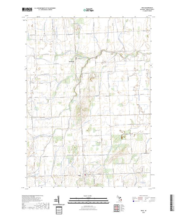
2023 Map of Peck
USGS Topo · Published 2023About this map
Agricultural Sanilac County is defined here by a dense network of water management features, reflecting a landscape heavily engineered for farming. The village of Peck sits at the southern edge of this grid-like terrain, while smaller settlements like Watertown and Cash anchor the central and eastern portions. A striking characteristic of the area is the named drainage system, including complex waterways like the Elk Flynn and Maple Valley Drain and the East Branch Speaker and Maple Valley Drain, which channel water toward the larger Elk Creek. This intricate system of man-made and modified natural channels, such as the Watertown State Drain and Beals Frizzle Drain, reveals the historical effort required to make this Michigan thumb region productive. Local history is grounded at sites like Zion Cem near Watertown and along the many named rural roads that follow section lines, including French Line Rd and Harrington Rd.
Find a feature on this map
65 named features on this map. Tap any name to fly to it.
Don’t see what you’re looking for? This feature index may not catch every label — zoom into the map to look around manually.
Map Details
Editions of this 2023 Peck Map
This is the sole edition of this map. No revisions or reprints were ever made.
Other maps of this area

1954 · Flint
USGS Topo · 1:250,000

1958 · Flint
USGS Topo · 1:250,000

1961 · Brown City
USGS Topo · 1:24,000

1961 · Roseburg
USGS Topo · 1:24,000

1961 · Yale
USGS Topo · 1:24,000

1963 · Snover
USGS Topo · 1:24,000

1963 · Sandusky
USGS Topo · 1:24,000

1963 · Peck
USGS Topo · 1:24,000

1963 · Juhl
USGS Topo · 1:24,000

1963 · Applegate
USGS Topo · 1:24,000