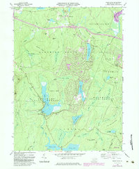
1966 Map of Pecks Pond
USGS Topo · Published 1984About this map
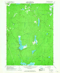
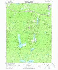
Pecks Pond sits at the heart of this landscape, a significant water body within the Delaware State Forest characterized by its numerous islands and adjacent Picnic Area. The terrain reflects the complex glacial geography of Pike County, where extensive wetlands like Little York Swamp and Maple Swamp alternate with prominent ridges such as Shohola Ridge and Burleigh Ridge. The 1960s and 1980s updates reveal the growing recreational footprint of the region, specifically at Hemlock Farms and the Golf Course near Hemlock Lake. Settlement is largely concentrated near Lords Valley in the north and around the shores of Porters Lake and Blue Heron Lake in the south. This transition from conservation lands and state game preserves to planned residential developments marks a pivotal era of land-use change in the Poconos.
Find a feature on this map
61 named features on this map. Tap any name to fly to it.
Don’t see what you’re looking for? This feature index may not catch every label — zoom into the map to look around manually.
Map Details
Editions of this 1966 Pecks Pond Map
3 editions found
Other maps of this area

1891 · Wallpack
USGS Topo · 1:62,500

1893 · Wallpack
USGS Topo · 1:62,500

1913 · Milford
USGS Topo · 1:62,500

1915 · Milford
USGS Topo · 1:62,500

1924 · Bushkill
USGS Topo · 1:48,000

1935 · Hawley
USGS Topo · 1:62,500

1938 · Hawley
USGS Topo · 1:62,500

1943 · Bushkill
USGS Topo · 1:62,500

1943 · Lake Maskenozha
USGS Topo · 1:31,680
1943 · Twelvemile Pond
USGS Topo · 1:24,000
Featured Places
- Blooming Grove Township, PA
- Dingman Township, PA
- Greene Township, PA
- Porter Township, PA
- Lords Valley, Blooming Grove Township