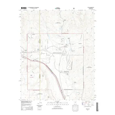
2013 Map of Pecos
USGS Topo · Published 2013About this map
The Pecos River valley serves as the central corridor for this part of San Miguel County, where the settlement of Pecos is anchored by the historic Old Saint Anthonys Church Cem and the New Saint Anthonys Cem. The landscape transitions from the high peaks of the Santa Fe National Forest to the archaeological and cultural grounds of the Pecos National Historical Park. Along the river's path, the Lisboa Springs Fish Hatchery and Monastery Lake mark significant local landmarks near the northern reaches of the valley.
Find a feature on this map
64 named features on this map. Tap any name to fly to it.
Don’t see what you’re looking for? This feature index may not catch every label — zoom into the map to look around manually.
Map Details
Editions of this 2013 Pecos Map
This is the sole edition of this map. No revisions or reprints were ever made.
Other maps of this area

1889 · Santa Fe
USGS Topo · 1:125,000

1894 · Santa Fe
USGS Topo · 1:125,000

1894 · Lamy
USGS Topo · 1:125,000

1953 · Glorieta
USGS Topo · 1:24,000

1953 · Mc Clure Reservoir
USGS Topo · 1:24,000

1954 · Santa Fe
USGS Topo · 1:250,000

1958 · Santa Fe
USGS Topo · 1:250,000

1961 · Honey Boy Ranch
USGS Topo · 1:24,000

1961 · Rosilla Peak
USGS Topo · 1:24,000
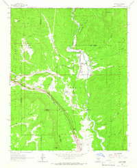
1961 · Pecos
USGS Topo · 1:24,000