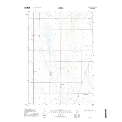
2017 Map of Peever
USGS Topo · Published 2017About this map
Peever sits at the heart of this prairie landscape, serving as a focal point for the surrounding rural sections in Roberts County. The terrain is defined by a complex network of wetlands and seasonal drainages, including the prominent Peever Slough and Eastman Slough, which characterize the eastern South Dakota glacial till plains. These water bodies, along with the meandering Jorgenson River and smaller tributaries like Agency Cr and Goodwill Cr, illustrate the hydrologic patterns that have influenced land use and settlement since the area was first surveyed.
Find a feature on this map
25 named features on this map. Tap any name to fly to it.
Don’t see what you’re looking for? This feature index may not catch every label — zoom into the map to look around manually.
Map Details
Editions of this 2017 Peever Map
This is the sole edition of this map. No revisions or reprints were ever made.
Other maps of this area

1916 · Peever
USGS Topo · 1:62,500

1918 · Peever
USGS Topo · 1:62,500

1953 · Milbank
USGS Topo · 1:250,000

1958 · Milbank
USGS Topo · 1:250,000

1970 · Sisseton
USGS Topo · 1:24,000

1970 · Summit NE
USGS Topo · 1:24,000

1970 · Wilmot NW
USGS Topo · 1:24,000

1970 · Goodwill
USGS Topo · 1:24,000

1971 · Browns Valley
USGS Topo · 1:24,000
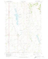
1971 · Peever
USGS Topo · 1:24,000
Featured Places
- Peever, Old Agency District
- Old Agency District, SD
- Lake Traverse District, SD
- Big Course District, SD
- Roberts County, SD