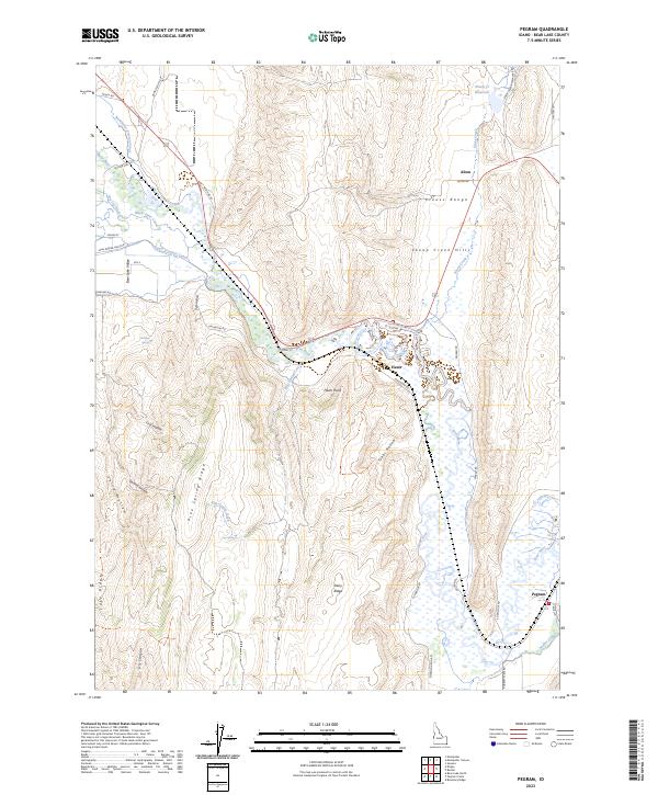
2023 Map of Pegram
USGS Topo · Published 2023About this map
The Bear River winds through the southeastern corner of Idaho, defining a valley carved between the Preuss Range and the Sheep Creek Hills. This landscape is heavily shaped by early 20th-century irrigation efforts, visible in the intricate network of the Montpelier Preston Canal, Black Otter Canal, and Ream Crockett Canal. These waterways supported the development of small ranching communities like Pegram and Harer, which sit along the valley floor near the river's edge.
Find a feature on this map
53 named features on this map. Tap any name to fly to it.
Don’t see what you’re looking for? This feature index may not catch every label — zoom into the map to look around manually.
Map Details
Editions of this 2023 Pegram Map
This is the sole edition of this map. No revisions or reprints were ever made.
Other maps of this area

1909 · Montpelier
USGS Topo · 1:125,000

1911 · Montpelier
USGS Topo · 1:125,000

1955 · Preston
USGS Topo · 1:250,000

1958 · Preston
USGS Topo · 1:250,000

1962 · Preston
USGS Topo · 1:250,000

1967 · Montpelier
USGS Topo · 1:24,000

1967 · Dingle
USGS Topo · 1:24,000
1970 · Border
USGS Topo · 1:24,000
1970 · Bear Lake North
USGS Topo · 1:24,000
1970 · Boundary Ridge
USGS Topo · 1:24,000