Loading...
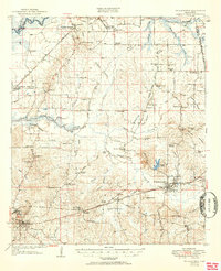
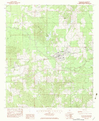
Loading map...1950 Map of Pelahatchie
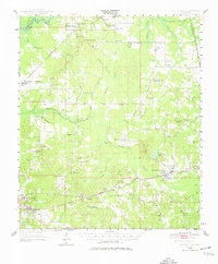
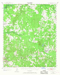
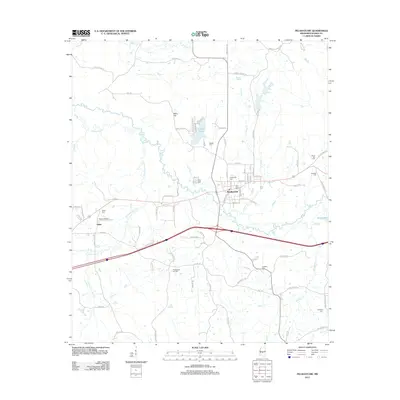
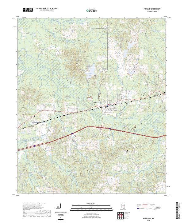
USGS Topo · Published 1976About this map
The Choctaw Treaty Line of 1820 defines the eastern boundary of this Mississippi landscape, marking a significant historical border between Rankin and Scott counties. Centered around the junction of the Illinois Central railroad and the Wire Road, the town of Pelahatchie serves as a hub for a region characterized by rural schools and churches. Settled pockets like Leesburg and Goshen Springs are connected by a network of early transit routes, including the Camden Carthage Road and the Gulf Mobile and Ohio rail line.
Find a feature on this map
82 named features on this map. Tap any name to fly to it.
Don’t see what you’re looking for? This feature index may not catch every label — zoom into the map to look around manually.
Map Details
Date Portrayed1950
Date Published1976
PublisherU.S. Geological Survey
Map TypeTopographic
Scale1:62,500
Physical Dimensions18 x 21.7 inches
Editions of this 1950 Pelahatchie Map
2 editions found
Historical Maps of Brandon Through Time
8 maps found
Featured Locations
Source Details
SourceU.S. Geological Survey
CopyrightPublic Domain