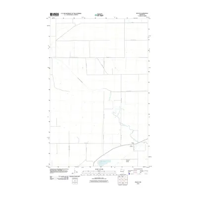
2010 Map of Pelan
USGS Topo · Published 2010About this map
Pelan serves as the primary focal point in this portion of Kittson County, situated near the winding course of the South Branch Two Rivers. The landscape is defined by a rigid grid of agricultural roads, such as County Hwy-7 and 240th St, which segment the flat terrain of the Red River Valley region. To the south, Twin Lakes and the State Ditch Number 90 Dam illustrate the local water management and drainage systems essential to this prairie environment. For those researching local lineages, the Pioneer Cemetery provides a tangible link to the early families who established themselves along the riverbanks. The map reveals a transition from traditional township roads to modern county thoroughfares, reflecting the long-term patterns of rural settlement and land use in northwestern Minnesota.
Find a feature on this map
18 named features on this map. Tap any name to fly to it.
Don’t see what you’re looking for? This feature index may not catch every label — zoom into the map to look around manually.
Map Details
Editions of this 2010 Pelan Map
This is the sole edition of this map. No revisions or reprints were ever made.
Other maps of this area

1918 · Hemmington
USGS Topo · 1:62,500

1919 · Pelan
USGS Topo · 1:62,500

1930 · Juneberry
USGS Topo · 1:31,680

1932 · Juneberry
USGS Topo · 1:62,500

1952 · Thief River Falls
USGS Topo · 1:250,000

1956 · Thief River Falls
USGS Topo · 1:250,000

1956 · Karlstad
USGS Topo · 1:62,500

1957 · Thief River Falls
USGS Topo · 1:250,000

1957 · Pelan
USGS Topo · 1:62,500

1966 · Skull Lake SE
USGS Topo · 1:24,000