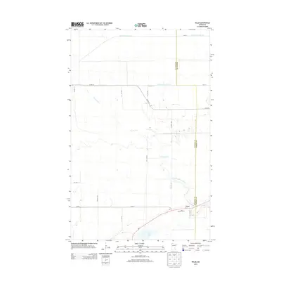
2013 Map of Pelan
USGS Topo · Published 2013About this map
Pelan sits at the intersection of MN-11 and several county roads along the eastern edge of Kittson County, just across the line from Roseau County. This prairie landscape is defined by its drainage and water systems, where the meandering course of the S Br Two Rivers and the South Branch Two Rivers contrast with the rigid lines of the State Ditch Number Ninetyfive, Lateral Ditch Number One, and Lateral Ditch Number Two. The presence of the Pelan Pioneer Cem near the town site offers a point of interest for genealogists tracing early settlement in this corner of Northwest Minnesota. The map also captures the Twin Lakes area to the south, highlighting a environment where natural hydrology and intentional agricultural engineering coexist.
Find a feature on this map
26 named features on this map. Tap any name to fly to it.
Don’t see what you’re looking for? This feature index may not catch every label — zoom into the map to look around manually.
Map Details
Editions of this 2013 Pelan Map
This is the sole edition of this map. No revisions or reprints were ever made.
Other maps of this area

1918 · Hemmington
USGS Topo · 1:62,500

1919 · Pelan
USGS Topo · 1:62,500

1930 · Juneberry
USGS Topo · 1:31,680

1932 · Juneberry
USGS Topo · 1:62,500

1952 · Thief River Falls
USGS Topo · 1:250,000

1956 · Thief River Falls
USGS Topo · 1:250,000

1956 · Karlstad
USGS Topo · 1:62,500

1957 · Thief River Falls
USGS Topo · 1:250,000

1957 · Pelan
USGS Topo · 1:62,500

1966 · Skull Lake SE
USGS Topo · 1:24,000