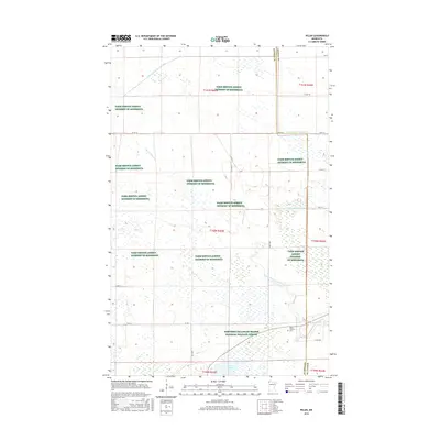
2016 Map of Pelan
USGS Topo · Published 2016About this map
The Pelan Pioneer Cem stands as a quiet marker of early settlement at the intersection of Kittson and Roseau counties, where the prairie begins its transition into the vast wetlands of northern Minnesota. This landscape is defined by the complex water management systems of the early 20th century, including Lateral Ditch Number One, Lateral Ditch Number Two, and the extensive State Ditch Number Ninety-two, which were engineered to drain the marshy terrain for agriculture.
Find a feature on this map
27 named features on this map. Tap any name to fly to it.
Don’t see what you’re looking for? This feature index may not catch every label — zoom into the map to look around manually.
Map Details
Editions of this 2016 Pelan Map
This is the sole edition of this map. No revisions or reprints were ever made.
Other maps of this area

1918 · Hemmington
USGS Topo · 1:62,500

1919 · Pelan
USGS Topo · 1:62,500

1930 · Juneberry
USGS Topo · 1:31,680

1932 · Juneberry
USGS Topo · 1:62,500

1952 · Thief River Falls
USGS Topo · 1:250,000

1956 · Thief River Falls
USGS Topo · 1:250,000

1956 · Karlstad
USGS Topo · 1:62,500

1957 · Thief River Falls
USGS Topo · 1:250,000

1957 · Pelan
USGS Topo · 1:62,500

1966 · Skull Lake SE
USGS Topo · 1:24,000