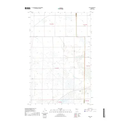
2019 Map of Pelan
USGS Topo · Published 2019About this map
Pelan Pioneer Cem stands as a quiet marker of early settlement at the intersection of Kittson and Roseau counties. The landscape is defined by an extensive network of water management, with Lateral Ditch Number One, Lateral Ditch Number Two, and the long channel of State Ditch Number Ninety-five cutting across the terrain to regulate the wetlands of northern Minnesota. These engineered waterways contrast with the natural winding paths of the S Br Two Rivers and South Branch Two Rivers, which meander toward the southern edge of the quadrangle near Twin Lakes. This 2019 survey documents a sparsely populated region where the township and range grid, including t160n r45w, organizes a territory primarily dedicated to conservation and drainage infrastructure.
Find a feature on this map
23 named features on this map. Tap any name to fly to it.
Don’t see what you’re looking for? This feature index may not catch every label — zoom into the map to look around manually.
Map Details
Editions of this 2019 Pelan Map
This is the sole edition of this map. No revisions or reprints were ever made.
Other maps of this area

1918 · Hemmington
USGS Topo · 1:62,500

1919 · Pelan
USGS Topo · 1:62,500

1930 · Juneberry
USGS Topo · 1:31,680

1932 · Juneberry
USGS Topo · 1:62,500

1952 · Thief River Falls
USGS Topo · 1:250,000

1956 · Thief River Falls
USGS Topo · 1:250,000

1956 · Karlstad
USGS Topo · 1:62,500

1957 · Thief River Falls
USGS Topo · 1:250,000

1957 · Pelan
USGS Topo · 1:62,500

1966 · Skull Lake SE
USGS Topo · 1:24,000