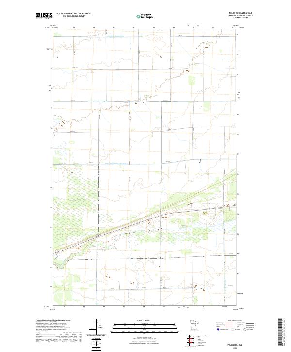
2022 Map of Pelan NE
USGS Topo · Published 2022About this map
Pauls Cem stands as a quiet focal point in this sparsely populated section of northern Minnesota. The landscape is defined by an extensive system of man-made waterways, including Lateral Ditch Number One, Lateral Ditch Number Two, and the long channel of State Ditch Number Ninetyfive. These drainage projects reveal a history of transforming the wet northern prairies into manageable land, likely for agricultural or conservation purposes. The natural course of the S Br Two Rivers meanders through the central sections, contrasting with the rigid grid of the township boundaries like t160n r44w. This area is characterized by low relief and a network of rural routes such as Co Rd 102 and specialized paths like VE Trl, illustrating the intersection of natural hydrology and purposeful human engineering.
Find a feature on this map
28 named features on this map. Tap any name to fly to it.
Don’t see what you’re looking for? This feature index may not catch every label — zoom into the map to look around manually.
Map Details
Editions of this 2022 Pelan NE Map
This is the sole edition of this map. No revisions or reprints were ever made.
Other maps of this area

1918 · Greenbush
USGS Topo · 1:62,500

1919 · Pelan
USGS Topo · 1:62,500

1919 · Badger
USGS Topo · 1:62,500

1930 · Juneberry
USGS Topo · 1:31,680

1932 · Juneberry
USGS Topo · 1:62,500

1952 · Thief River Falls
USGS Topo · 1:250,000

1956 · Thief River Falls
USGS Topo · 1:250,000

1957 · Thief River Falls
USGS Topo · 1:250,000

1957 · Pelan
USGS Topo · 1:62,500

1962 · Strathcona
USGS Topo · 1:24,000