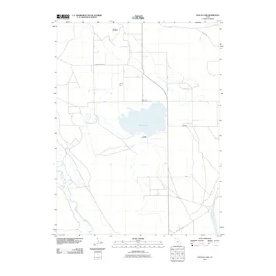
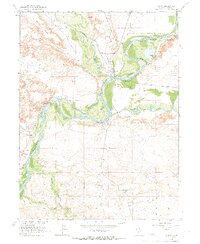
2011 Map of Pelican Lake
USGS Topo · Published 2011About this map
Pelican Lake serves as a central focal point for this section of the Uintah Basin, defined by its water management and agricultural infrastructure. The landscape is marked by a rigid grid of rural roads, including 4000 S and 6000 S, which service the small settlements of Leota and Ouray Park. This network reflects a history of irrigation and settlement in an arid environment, further anchored by the Pelican Lake Dam and nearby Pelican Lake Campground. To the south and west, the terrain gives way to the winding paths of the Duchesne River and the Green River, providing a sharp contrast to the geometric precision of the upland ranching areas. Geographic features such as Silvestre Overlook and the low-lying Brennan Btm offer a view into the regional topography where the high desert meets the river valleys.
Find a feature on this map
19 named features on this map. Tap any name to fly to it.
Don’t see what you’re looking for? This feature index may not catch every label — zoom into the map to look around manually.
Map Details
Editions of this 2011 Pelican Lake Map
This is the sole edition of this map. No revisions or reprints were ever made.
Other maps of this area

1885 · Ashley
USGS Topo · 1:250,000
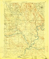
1917 · Vernal
USGS Topo · 1:125,000

1954 · Vernal
USGS Topo · 1:250,000
1958 · Vernal
USGS Topo · 1:250,000
1960 · Vernal
USGS Topo · 1:250,000
1964 · Fort Duchesne
USGS Topo · 1:24,000
1964 · Brennan Basin
USGS Topo · 1:24,000
1964 · Vernal SW
USGS Topo · 1:24,000
1964 · Randlett
USGS Topo · 1:24,000
1964 · Ouray
USGS Topo · 1:24,000