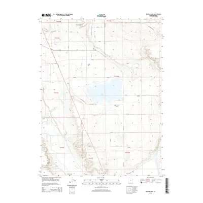
2014 Map of Pelican Lake
USGS Topo · Published 2014About this map
Pelican Lake serves as the central anchor of this High Desert landscape south of Leota in the early 21st century. The map reveals an intricate network of water management essential to the region's agricultural and ecological vitality, including the Ouray Park Canal, Wissiup Ditch, and the winding Duchesne River. These irrigation systems transition the arid Leland Bench and Uinta Valley into productive areas like Ouray Park.
Find a feature on this map
49 named features on this map. Tap any name to fly to it.
Don’t see what you’re looking for? This feature index may not catch every label — zoom into the map to look around manually.
Map Details
Editions of this 2014 Pelican Lake Map
This is the sole edition of this map. No revisions or reprints were ever made.
Other maps of this area
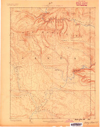
1885 · Ashley
USGS Topo · 1:250,000
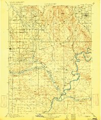
1917 · Vernal
USGS Topo · 1:125,000
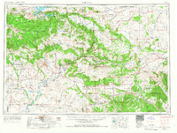
1954 · Vernal
USGS Topo · 1:250,000
1958 · Vernal
USGS Topo · 1:250,000
1960 · Vernal
USGS Topo · 1:250,000
1964 · Fort Duchesne
USGS Topo · 1:24,000
1964 · Brennan Basin
USGS Topo · 1:24,000
1964 · Vernal SW
USGS Topo · 1:24,000
1964 · Randlett
USGS Topo · 1:24,000
1964 · Ouray
USGS Topo · 1:24,000