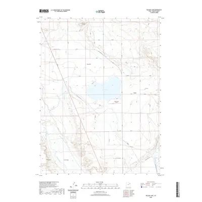
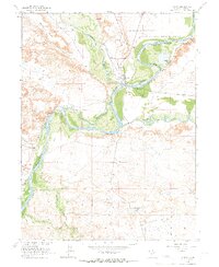
2020 Map of Pelican Lake
USGS Topo · Published 2020About this map
Pelican Lake sits at the heart of this high-desert basin, serving as a focal point for local irrigation and infrastructure. The settlement of Leota and the nearby Leota Cem anchor the eastern side of the sheet, while Avalon Cem is situated to the north, providing important landmarks for family history researchers. The landscape is defined by the confluence of water systems and arid land, featuring the Duchesne River and the Green River which flows through the Ouray National Wildlife Refuge. Elaborate water management is evident through the Ouray Park Canal and Wissiup Ditch, which support the agricultural viability of Ouray Park and Leland Bench. Industrial and utility markers like the RNI Water Plant and the Pelican Lake Airport highlight the modern development within the broader Uinta Valley.
Find a feature on this map
19 named features on this map. Tap any name to fly to it.
Don’t see what you’re looking for? This feature index may not catch every label — zoom into the map to look around manually.
Map Details
Editions of this 2020 Pelican Lake Map
This is the sole edition of this map. No revisions or reprints were ever made.
Other maps of this area

1885 · Ashley
USGS Topo · 1:250,000

1917 · Vernal
USGS Topo · 1:125,000

1954 · Vernal
USGS Topo · 1:250,000

1958 · Vernal
USGS Topo · 1:250,000

1960 · Vernal
USGS Topo · 1:250,000
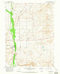
1964 · Fort Duchesne
USGS Topo · 1:24,000

1964 · Brennan Basin
USGS Topo · 1:24,000
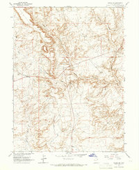
1964 · Vernal SW
USGS Topo · 1:24,000
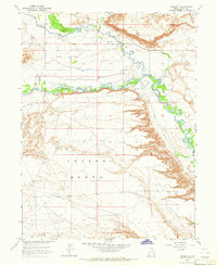
1964 · Randlett
USGS Topo · 1:24,000
1964 · Ouray
USGS Topo · 1:24,000