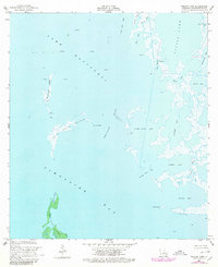
1956 Map of Pelican Pass
USGS Topo · Published 1980About this map
Lake Raccourci and Timbalier Bay dominate this coastal landscape of southern Louisiana, where land and water constantly shift across the marshes of Lafourche Parish. The map reveals an active Oil Field with numerous Gas Wells and an Oil Well dotting the open waters and islands. The human presence is sparse but distinct, marked by Jacko Camp and the notable Ruins found on the Philo Brice Islands.
Find a feature on this map
33 named features on this map. Tap any name to fly to it.
Don’t see what you’re looking for? This feature index may not catch every label — zoom into the map to look around manually.
Map Details
Editions of this 1956 Pelican Pass Map
4 editions found
Other maps of this area

1892 · Cheniere Caminada
USGS Topo · 1:62,500

1892 · Creole
USGS Topo · 1:62,500

1894 · Timbalier
USGS Topo · 1:62,500

1894 · Lake Felicity
USGS Topo · 1:62,500

1935 · Timbalier Island
USGS Topo · 1:31,680

1935 · Bay Courant
USGS Topo · 1:31,680

1935 · Pelican Pass
USGS Topo · 1:31,680

1935 · Mink Bayou
USGS Topo · 1:31,680

1935 · Calumet Island
USGS Topo · 1:31,680

1935 · Leeville
USGS Topo · 1:31,680