
1967 Map of Pelican Point
USGS Topo · Published 1971About this map
Lake Owyhee dominates this high-desert landscape in Malheur County, where the impounded Owyhee River winds through narrow canyons and expansive flats. The 1960s terrain is marked by dramatic geological formations and remote water sources like Sheephead Spring and South Sheephead Spring. Human activity is sparse but evident through a network of jeep trails and a singular Landing Strip located near Pelican Point.
Find a feature on this map
29 named features on this map. Tap any name to fly to it.
Don’t see what you’re looking for? This feature index may not catch every label — zoom into the map to look around manually.
Map Details
Editions of this 1967 Pelican Point Map
This is the sole edition of this map. No revisions or reprints were ever made.
Other maps of this area

1906 · Mitchell Butte
USGS Topo · 1:125,000

1955 · Boise
USGS Topo · 1:250,000

1958 · Boise
USGS Topo · 1:250,000

1962 · Boise
USGS Topo · 1:250,000

1967 · Diamond Butte
USGS Topo · 1:24,000
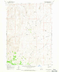
1967 · Bannock Ridge
USGS Topo · 1:24,000
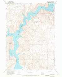
1967 · The Elbow
USGS Topo · 1:24,000

1967 · Twin Springs
USGS Topo · 1:24,000

1967 · Rooster Comb
USGS Topo · 1:24,000

1967 · Quartz Mtn Basin
USGS Topo · 1:24,000