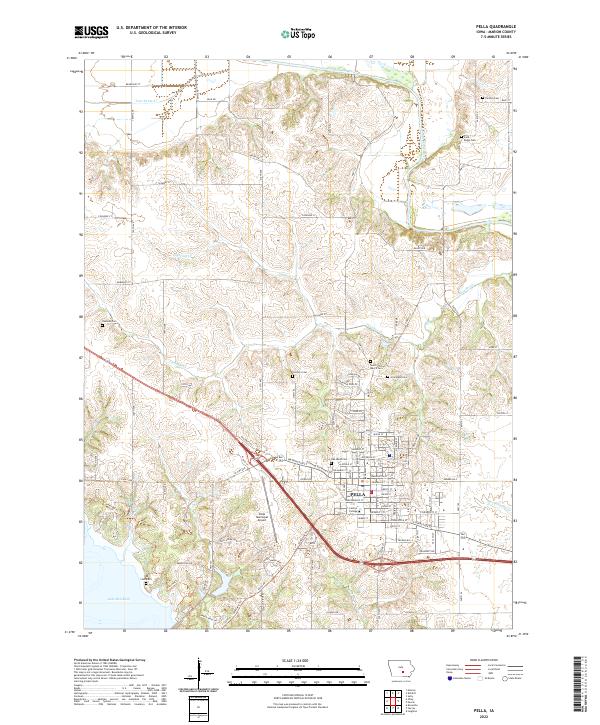
2022 Map of Pella
USGS Topo · Published 2022About this map
Pella stands at the heart of this landscape, its grid layout anchored by the historic campus of Central College. The town’s growth is evident in the residential developments extending toward the Pella Municipal Airport and the surrounding agricultural tracts. The geography is defined by a series of waterways, including Lighting Cr and Thunder Cr, which drain the rolling terrain between the South Skunk River to the north and the expansive Lake Red Rock in the southwest corner. Genealogists will find a high density of burial grounds throughout the region, ranging from the large Graceland Cem and Oak Wood Cem near the city center to smaller family and rural plots such as t'Lam Cem, Hannold Cem, and Parsons Cem.
Find a feature on this map
68 named features on this map. Tap any name to fly to it.
Don’t see what you’re looking for? This feature index may not catch every label — zoom into the map to look around manually.
Map Details
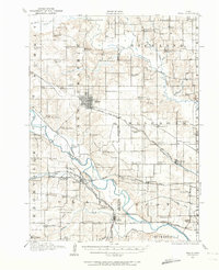
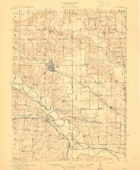
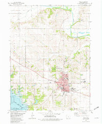
Editions of this 2022 Pella Map
This is the sole edition of this map. No revisions or reprints were ever made.
Historical Maps of Pella Through Time
4 maps found
Featured Locations
- Lake Prairie Township, IA
- Summit Township, IA
- Clay Township, IA
- Knoxville Township, IA
- Pella, Lake Prairie Township