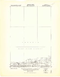
1919 Map of Pelland
USGS Topo · Published 1919About this map
The Dominion of Canada United States International Boundary forms the centerpiece of this 1919 military survey, following the wide course of the Rainy River through Koochiching County. Settlements are concentrated along the southern riverbanks, where the confluence of major tributaries created natural hubs for early twentieth-century activity. The junction where the Big Fork River meets the border is marked by the community of Big Fork, while the Little Fork River enters the main channel near Pelland.
Find a feature on this map
13 named features on this map. Tap any name to fly to it.
Don’t see what you’re looking for? This feature index may not catch every label — zoom into the map to look around manually.
Map Details
Editions of this 1919 Pelland Map
2 editions found
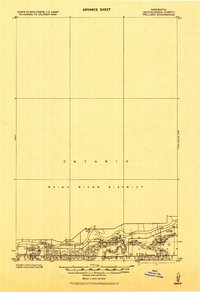
Other maps of this area
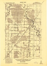
1919 · Happy Land
USGS Topo · 1:62,500
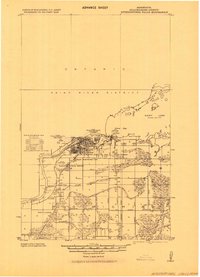
1919 · International Falls
USGS Topo · 1:62,500
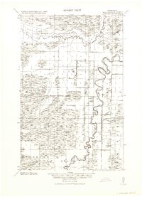
1943 · Lindford
USGS Topo · 1:62,500
1954 · International Falls
USGS Topo · 1:250,000
1957 · International Falls
USGS Topo · 1:250,000
1958 · International Falls
USGS Topo · 1:250,000
1969 · Ericsburg NW
USGS Topo · 1:24,000
1969 · International Falls
USGS Topo · 1:24,000
1970 · Devlin
USGS Topo · 1:24,000
1970 · Littlefork
USGS Topo · 1:24,000