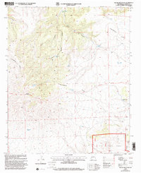
1999 Map of Pelona Mountain
USGS Topo · Published 2002About this map
Pelona Mountain dominates this portion of the Gila National Forest, serving as a high-altitude anchor for a landscape defined by the winding Continental Divide. The terrain is deeply incised by a series of drainages, including Juanita Canyon, Shaw Canyon, and Railroad Canyon, which underscore the geological complexity of the area. This 1990s revision reveals a water-dependent infrastructure critical for ranching and forest management, marked by numerous named water sources such as Fullerton Spring Tank, Bruja Spring, and the Pelona Well. The presence of the National Scenic Trail following the ridge lines indicates the area's transition into a space for long-distance recreation, while the dense network of canyons and high-elevation tanks highlights the enduring importance of water management in this arid high-country environment.
Find a feature on this map
20 named features on this map. Tap any name to fly to it.
Don’t see what you’re looking for? This feature index may not catch every label — zoom into the map to look around manually.
Map Details
Editions of this 1999 Pelona Mountain Map
This is the sole edition of this map. No revisions or reprints were ever made.
Other maps of this area

1918 · Pelona
USGS Topo · 1:125,000

1954 · Tularosa
USGS Topo · 1:250,000

1954 · Clifton
USGS Topo · 1:250,000

1957 · Clifton
USGS Topo · 1:250,000

1958 · Clifton
USGS Topo · 1:250,000

1958 · Tularosa
USGS Topo · 1:250,000

1962 · Clifton
USGS Topo · 1:250,000

1979 · San Mateo Mountains
USGS Topo · 1:100,000

1981 · Fullerton
USGS Topo · 1:24,000
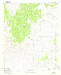
1981 · Pelona Mountain
USGS Topo · 1:24,000