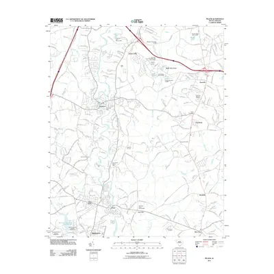
2011 Map of Pelzer
USGS Topo · Published 2011About this map
The Saluda River snakes through the heart of this region, providing the geographical foundation for a series of industrial and residential developments. In the town of Piedmont, the Piedmont Dam sits as a central landmark, while downstream, the twin communities of Pelzer and West Pelzer represent the area's long-standing textile and manufacturing heritage. The landscape is dotted with several small reservoirs, including Freemans Lake, Lake Eljama, and Prince Lake, each regulated by a named dam structure.
Find a feature on this map
166 named features on this map. Tap any name to fly to it.
Don’t see what you’re looking for? This feature index may not catch every label — zoom into the map to look around manually.
Map Details
Editions of this 2011 Pelzer Map
This is the sole edition of this map. No revisions or reprints were ever made.
Other maps of this area

1888 · Pickens
USGS Topo · 1:125,000

1894 · Pickens
USGS Topo · 1:125,000

1935 · Greenville
USGS Topo · 1:48,000

1938 · Greenville
USGS Topo · 1:62,500

1954 · Greenville
USGS Topo · 1:250,000

1957 · Greenville
USGS Topo · 1:24,000

1957 · Anderson
USGS Topo · 1:62,500

1957 · Easley
USGS Topo · 1:62,500

1957 · Williamston
USGS Topo · 1:62,500

1957 · Greenville
USGS Topo · 1:62,500