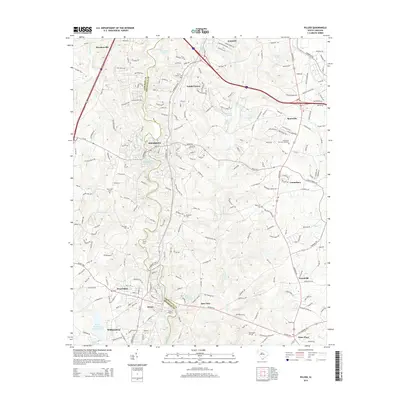
2014 Map of Pelzer
USGS Topo · Published 2014About this map
The Saluda River defines the central geography of this South Carolina corridor, winding between Piedmont and Pelzer. This 2014 survey documents the dense network of local roads and suburban expansion connecting Anderson and Greenville counties. The landscape transitions from the developed streets of West Pelzer and Williamston to the more dispersed communities of Golden Grove and Moonville. Significant water features like the Piedmont Reservoir and Stewarts Pond are prominent, while historical landmarks such as Martin Ford and Allen Shoals mark the river's path.
Find a feature on this map
210 named features on this map. Tap any name to fly to it.
Don’t see what you’re looking for? This feature index may not catch every label — zoom into the map to look around manually.
Map Details
Editions of this 2014 Pelzer Map
This is the sole edition of this map. No revisions or reprints were ever made.
Other maps of this area

1888 · Pickens
USGS Topo · 1:125,000

1894 · Pickens
USGS Topo · 1:125,000

1935 · Greenville
USGS Topo · 1:48,000

1938 · Greenville
USGS Topo · 1:62,500

1954 · Greenville
USGS Topo · 1:250,000

1957 · Greenville
USGS Topo · 1:24,000

1957 · Anderson
USGS Topo · 1:62,500

1957 · Easley
USGS Topo · 1:62,500

1957 · Williamston
USGS Topo · 1:62,500

1957 · Greenville
USGS Topo · 1:62,500