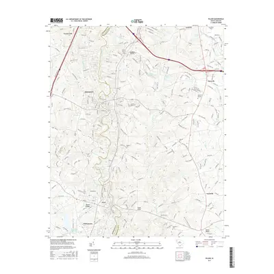
2017 Map of Pelzer
USGS Topo · Published 2017About this map
The Saluda River serves as the central artery for this portion of the Upstate, winding through the industrial and residential heart of Piedmont and Pelzer. This 2017 edition illustrates the modern footprints of established mill towns and the expanding suburban sprawl between the Anderson and Greenville county line. The landscape is dotted with ancestral landmarks, from the Oak Grove Cem and Harrison Cem to the long-standing congregations at Rehoboth Church and New Shady Grove Church. Infrastructure like Donaldson Field in the northeast and the residential corridors of Powdersville and Moonville define the region's contemporary character. Local history is reflected in terrain features like Allen Shoals and numerous small water bodies such as Lake Eliana and Prince Lake that characterize the Piedmont plateau.
Find a feature on this map
173 named features on this map. Tap any name to fly to it.
Don’t see what you’re looking for? This feature index may not catch every label — zoom into the map to look around manually.
Map Details
Editions of this 2017 Pelzer Map
This is the sole edition of this map. No revisions or reprints were ever made.
Other maps of this area

1888 · Pickens
USGS Topo · 1:125,000

1894 · Pickens
USGS Topo · 1:125,000

1935 · Greenville
USGS Topo · 1:48,000

1938 · Greenville
USGS Topo · 1:62,500

1954 · Greenville
USGS Topo · 1:250,000

1957 · Greenville
USGS Topo · 1:24,000

1957 · Anderson
USGS Topo · 1:62,500

1957 · Easley
USGS Topo · 1:62,500

1957 · Williamston
USGS Topo · 1:62,500

1957 · Greenville
USGS Topo · 1:62,500