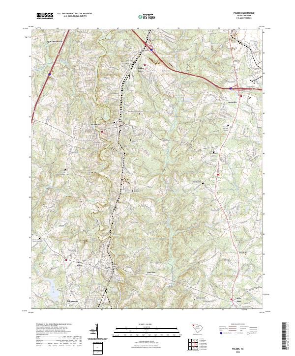
2024 Map of Pelzer
USGS Topo · Published 2024About this map
The Saluda River serves as the primary geographical divider in this region, separating Greenville and Anderson counties. The landscape is characterized by a high density of rural religious and funerary sites, reflecting the long-established social fabric of communities like Piedmont, Pelzer, and Powdersville. These settlements are linked by a network of local roads that weave between water features such as Big Brushy Creek and Hurricane Creek.
Find a feature on this map
244 named features on this map. Tap any name to fly to it.
Don’t see what you’re looking for? This feature index may not catch every label — zoom into the map to look around manually.
Map Details
Editions of this 2024 Pelzer Map
This is the sole edition of this map. No revisions or reprints were ever made.
Other maps of this area

1888 · Pickens
USGS Topo · 1:125,000

1894 · Pickens
USGS Topo · 1:125,000

1935 · Greenville
USGS Topo · 1:48,000

1938 · Greenville
USGS Topo · 1:62,500

1954 · Greenville
USGS Topo · 1:250,000

1957 · Greenville
USGS Topo · 1:24,000

1957 · Anderson
USGS Topo · 1:62,500

1957 · Easley
USGS Topo · 1:62,500

1957 · Williamston
USGS Topo · 1:62,500

1957 · Greenville
USGS Topo · 1:62,500