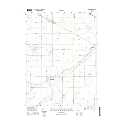
2016 Map of Pemberville
USGS Topo · Published 2016About this map
The Portage River meanders through this agricultural landscape on the border of Wood and Sandusky counties, anchoring the village of Pemberville. The settlement pattern follows a grid of township roads, punctuated by several historical burial grounds including Eisenhour Cem and Pemberville Cem. To the north, the village of Luckey and the community of Lemoyne sit near major thoroughfares like the Fremont Pike, while the village of Woodville occupies the eastern edge of the survey near Westwood Cem. Distinctive elevations like Calers Ridge and Trimmers Ridge rise above the drainage basins of Toussaint Cr and Martin Ditch. This data represents the modern infrastructure of Northwest Ohio, documenting the persistent placement of local landmarks and rural intersections that have defined the region for generations.
Find a feature on this map
57 named features on this map. Tap any name to fly to it.
Don’t see what you’re looking for? This feature index may not catch every label — zoom into the map to look around manually.
Map Details
Editions of this 2016 Pemberville Map
This is the sole edition of this map. No revisions or reprints were ever made.
Other maps of this area

1900 · Maumee Bay
USGS Topo · 1:62,500

1900 · Toledo
USGS Topo · 1:62,500

1901 · Bowling Green
USGS Topo · 1:62,500

1901 · Elmore
USGS Topo · 1:62,500

1903 · Bowling Green
USGS Topo · 1:62,500

1903 · Elmore
USGS Topo · 1:62,500

1934 · Rossford
USGS Topo · 1:24,000

1935 · Walbridge
USGS Topo · 1:24,000

1935 · Genoa
USGS Topo · 1:24,000

1938 · Walbridge
USGS Topo · 1:31,680