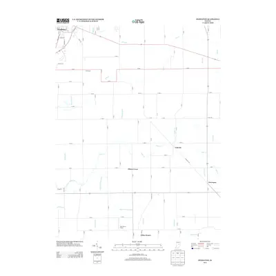
2013 Map of Pendleton
USGS Topo · Published 2013About this map
Pendleton anchors the northwestern corner of this landscape, where the street grid of S Main St and S Broadway St gives way to the structured agricultural geography of central Indiana. The terrain is defined by a dense network of water management features, including the March and Trees Ditch and Manifold Ditch, which work alongside natural waterways like Sugar Cr and Lick Cr to drain the productive farmland. Small, unincorporated communities such as Nashville, Milners Corner, and Warrington sit at rural intersections, marking the historic social hubs of the township.
Find a feature on this map
79 named features on this map. Tap any name to fly to it.
Don’t see what you’re looking for? This feature index may not catch every label — zoom into the map to look around manually.
Map Details
Editions of this 2013 Pendleton Map
This is the sole edition of this map. No revisions or reprints were ever made.
Other maps of this area

1952 · Greenfield
USGS Topo · 1:24,000

1952 · Ingalls
USGS Topo · 1:24,000

1952 · Anderson
USGS Topo · 1:24,000

1953 · Pendleton
USGS Topo · 1:24,000

1953 · Lapel
USGS Topo · 1:24,000

1953 · Cincinnati
USGS Topo · 1:250,000

1953 · Muncie
USGS Topo · 1:250,000

1956 · Muncie
USGS Topo · 1:250,000

1956 · Cleveland
USGS Topo · 1:24,000

1957 · Cincinnati
USGS Topo · 1:250,000