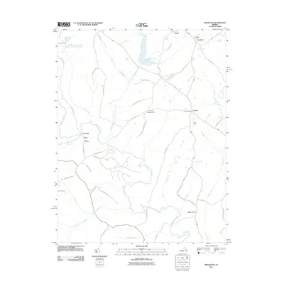
2011 Map of Pendleton
USGS Topo · Published 2011About this map
Mineral and Pendleton anchor the northern reaches of this Louisa County landscape, where the Northeast Creek Reservoir serves as a prominent water feature. The area is defined by a network of rural settlements and crossroad communities, many of which maintained their own postal identity through the Pendleton Post Office, Cuckoo Post Office, and Vigor Post Office. These nodes of local commerce and communication are connected by historic routes like Waltons Store Rd and Harts Mill Rd, which trace the drainage patterns of the South Anna River and its various tributaries.
Find a feature on this map
51 named features on this map. Tap any name to fly to it.
Don’t see what you’re looking for? This feature index may not catch every label — zoom into the map to look around manually.
Map Details
Editions of this 2011 Pendleton Map
This is the sole edition of this map. No revisions or reprints were ever made.
Other maps of this area

1887 · Spottsylvania
USGS Topo · 1:125,000

1890 · Goochland
USGS Topo · 1:125,000

1891 · Palmyra
USGS Topo · 1:125,000

1892 · Spottsylvania
USGS Topo · 1:125,000

1892 · Goochland
USGS Topo · 1:125,000

1892 · Gordonsville
USGS Topo · 1:125,000

1895 · Palmyra
USGS Topo · 1:125,000

1897 · Palmyra
USGS Topo · 1:125,000

1942 · Mineral
USGS Topo · 1:31,680

1942 · Contrary Creek
USGS Topo · 1:31,680